Natural Park

Canyon and Waterfall Trail

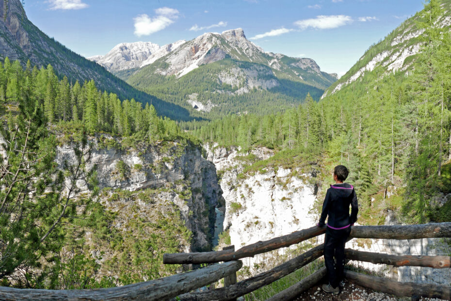
Departure and arrival point: Pian de Loa 1314 m (4310 ft) Distance: 11,5 km (7.2 mi) Elevation gain: 550 m (1800 ft) Difficulty: Hard Brief description: hike along the most beautiful waterfall and canyon system in the Dolomites. Among the many unique and truly beautiful sites that make Cortina d'Ampezzo famous is the canyon carvedRead More »Canyon and Waterfall Trail

The Lakes of Fòses

Departure and arrival point: Val Salata 2000 m (6560 ft) by jeep; St. Hubertus 1449 m (4754 ft) Distance: 13,6 km (8.5 mi) Elevation gain: ascent 450 m (1476 ft) descent 1150 m (3772 ft) Difficulty: Moderate Brief descriptions: from Sénes to St. Ubertus, via the stunning Lakes of Fòses. This hike departs from theRead More »The Lakes of Fòses

Val Padeon

Departure and arrival point: Passo Tre Croci 1800 m (6168 ft) Ospitale 1490 m (4888 ft) Distance: 9,4 km (5.6 mi) Elevation gain: ascent 350 m (1150 ft) descent 620 m (2035 ft) Difficulty: Moderate Brief description: point-to-point crossing of the solitary Val Padeon. We begin our hike at Passo Tre Croci and we followRead More »Val Padeon

Lerosa Pass

Departure and arrival point: Malga Ra Stua 1668 m (5470 ft) Distance: 9 km (5.6 mi) Elevation gain: 420 m (1378 ft) Difficulty: Moderate Brief description: loop in the heart of the Natural Park of the Dolomiti d’Ampezzo. Our hike starts just past Malga Ra Stua, and it follows an old military trail leading toRead More »Lerosa Pass