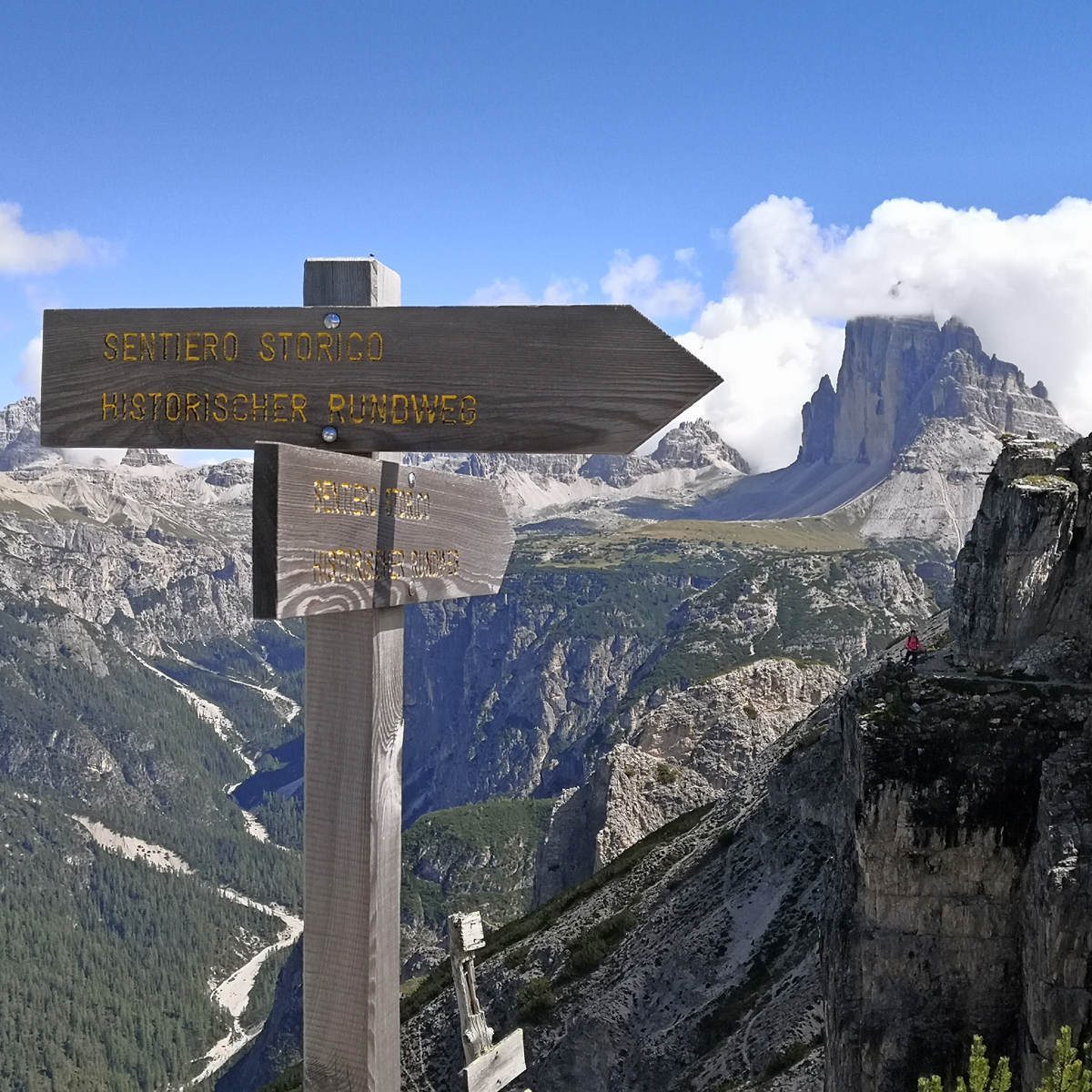
Brief description: point-to-point trail across Monte Piana.
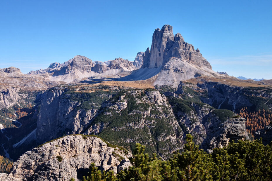
Mount Piana is located in the Tre Cime Natural Park, rising between Lake Misurina and the Tre Cime of Lavaredo. For over two years during WWI, it was a battleground for the Italian and the Austro-Hungarian armies. Thanks to a series of reconstruction efforts led by Alpine and other volunteers, today the summit of Monte Piana is an “open air” museum. Walking along the many observation points, shelters, galleries and trenches all cleared from debris, visitors get a thorough understanding of how the battlefield was laid out.
Our trek departs from charming Lake d’Antorno, following an old military trail to rifugio Bosi, at an altitude of 2205m (7235 ft). Continuing along a few war trenches, we reach the Carducci Piramid, the summit of Mount Piana. From here, we can enjoy a 360o view of the mountains surrounding us, including the vertical walls of the Tre Cime of Lavaredo, the imposing north face of Cristallo and its snow-covered ridges and the Croda Rossa d’Ampezzo and its shades of rust.
We head back along the “Pioneer Trail”, descending along the steep Western slopes of Mount Piana. Our arrival point is Carbonin, on the road connecting Dobbiaco to Cortina.